


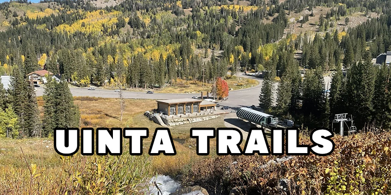
Your Guide to Wheelchair and Trike Friendly Trails in the Uinta National Forest
Published on 05/07/2024
The Uinta-Wasatch-Cache National Forest cover 2.2 million acres in Northern Utah and Southwestern Wyoming. Many visitors have said that it's one of the most beautiful forests they've seen. If you're a nature lover, you should absolutely check it out.
Trails in Uinta National Forest
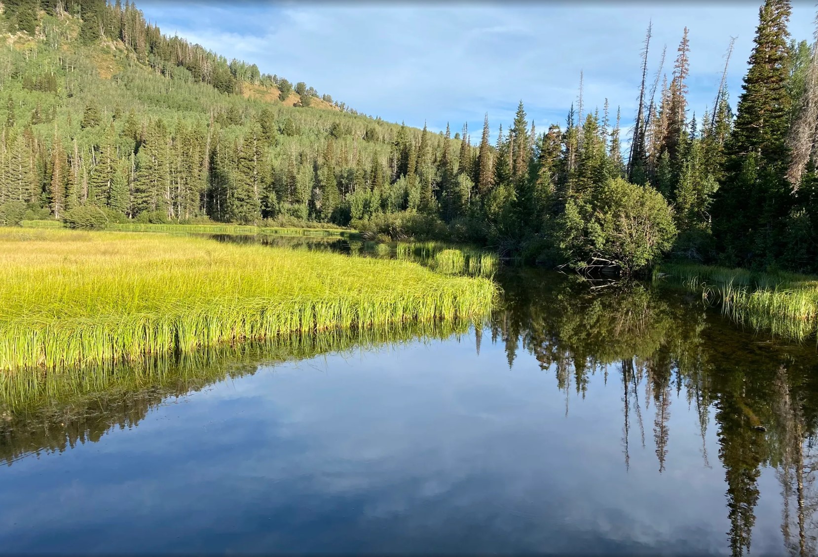
Silver Lake Loop Trail

Distance: 0.9 miles
Location: Uinta-Wasatch-Cache National Forest
Trail Surface: Paved - boardwalk - unpaved
Difficulty: Easy
Experience this 0.9-mile loop trail near Salt Lake City, Utah. Generally considered an easy route, it takes an average of 19 min to complete. This is a very popular area for walking, so you'll likely encounter other people while exploring. The trail is open year-round and is beautiful to visit anytime. You'll need to leave pups at home — dogs aren't allowed on this trail.
Accessibility: Visitors using wheelchairs, mobility equipment, or strollers may need all-terrain tires or adaptive/motorized equipment for the unpaved surface sections. Visitors using wheelchairs, mobility equipment, or strollers may need assistance in the steeper sections or to avoid them for safety. The most accessible portion of the trail is the first 0.3 miles heading clockwise.
Accessible Parking:
Number of designated accessible spaces: 3 at the trailhead;
Number of van-accessible spaces with access aisles: 3;
Parking lot surface: paved.
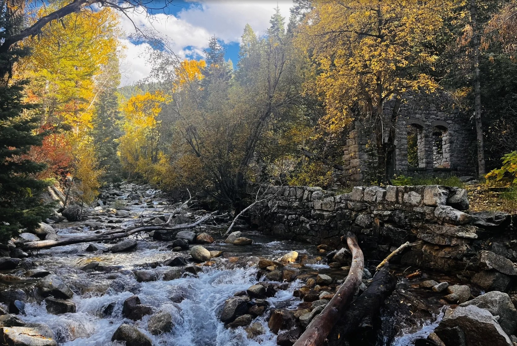
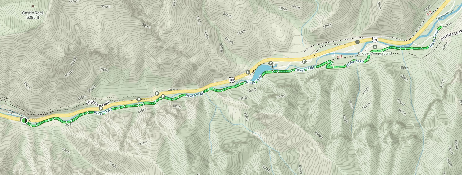
Temple Quarry and Little Cottonwood Creek Trail
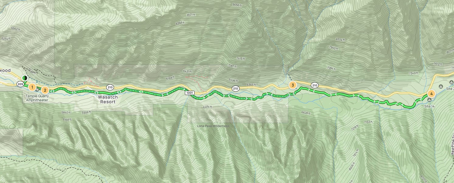
Distance: 8.7 miles
Location: Uinta-Wasatch-Cache National Forest
Trail Surface: Asphalt-Natural Dirt
Difficulty: Moderate
Explore this 8.7-mile out-and-back trail near Sandy, Utah. Generally considered a moderately challenging route, it takes an average of 4 h 22 min to complete. This is a very popular area for hiking, mountain biking, and snowshoeing, so you'll likely encounter other people while exploring. The best times to visit this trail are March through October. You'll need to leave pups at home — dogs aren't allowed on this trail.
Accessibility: There is one designated accessible space in the small paved parking lot south of Little Cottonwood Road at the west end of the trail. It is van-accessible with a striped access aisle. The trail surface is natural dirt, rock, gravel, wooden bridge (with railings), cement, or asphalt, and typically at least 2 feet wide. The estimated grade is moderately steep (8% or less) with very steep (over 12%) uphill and downhill sections about every mile along the way.
All-terrain tires or motorized equipment may be needed for the mostly unpaved surface type. Trail goers/hikers using wheelchairs/mobility equipment or strollers may need assistance along this entire route due to the consistent sections above a 5% grade, uneven surfaces, and sections more narrow than 3 feet. Just the paved, more accessible loop can also be viewed on its own trail page here.
Logan River Trail: Canyon Entrance Park
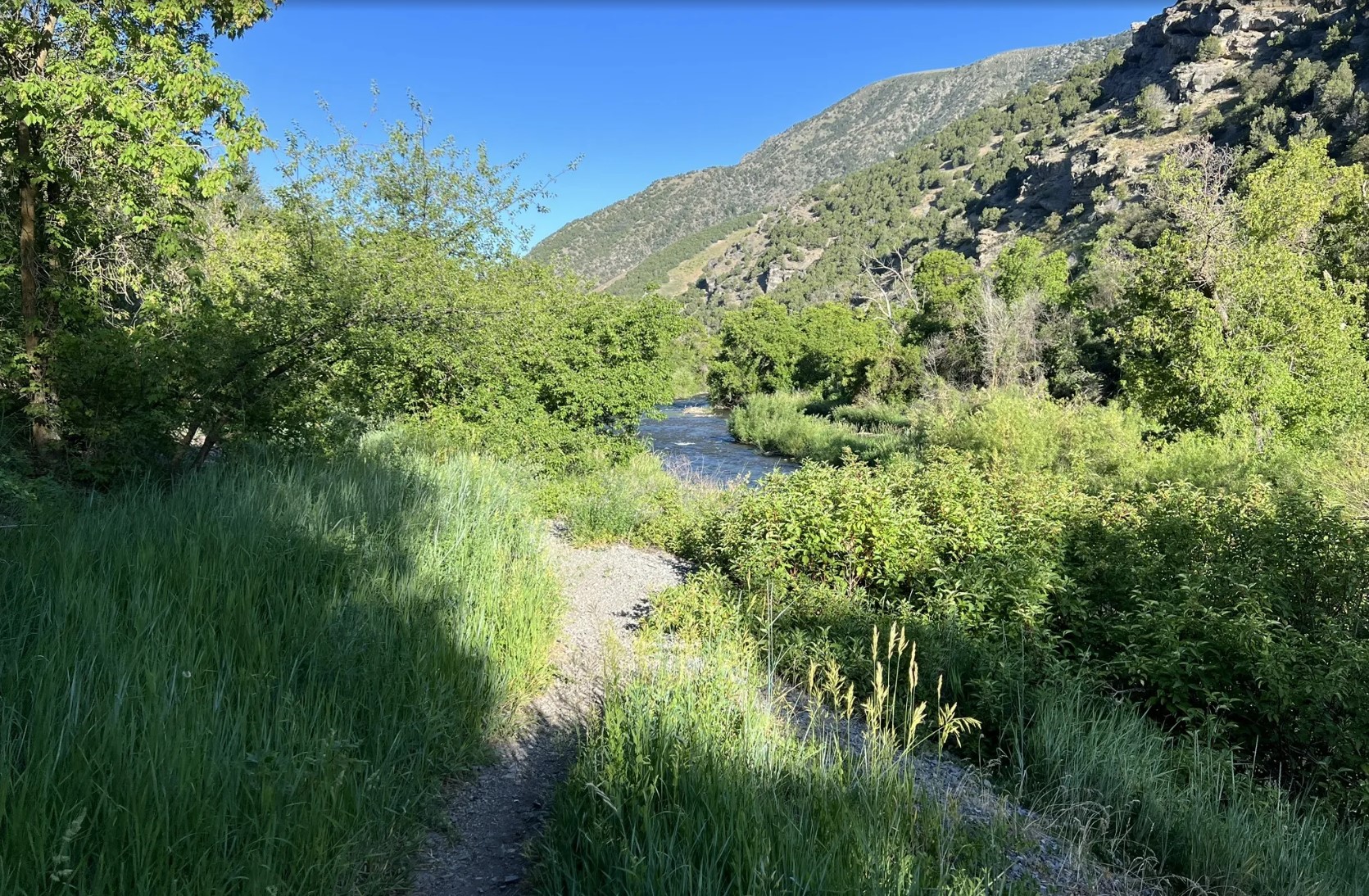
Distance: 5.6 miles
Location: Uinta National Forest
Trail Surface: Asphalt
Difficulty: Moderate
Explore this 5.6-mile out-and-back trail near North Logan, Utah. Generally considered a moderately challenging route, it takes an average of 2 h 12 min to complete. This is a very popular area for camping, fishing, and hiking, so you'll likely encounter other people while exploring. The best times to visit this trail are March through October. Dogs are welcome, but must be on a leash.
Accessibility: There is 1 unlined designated accessible space in the gravel parking lot off of US-89 at the west end of the trail. It is not van-accessible with striped access aisles. The trail surface is gravel or a natural surface (dirt). It is typically at least 6 feet wide. There is a gate across the trail at the start and the estimated width to go around it is 3 feet.
The majority of the trail is estimated to be in the mostly gentle (5% or less) and moderately steep (5-8%) grade categories but there are steeper sections at about when going 0.3, 1.2, 1.9-2.0, and 2.2 miles. Trail goers using wheelchairs/mobility equipment or strollers may need assistance in the steeper sections or to avoid them for safety. All-terrain tires or motorized equipment may be needed for the surface type and grade.
Twin Lake Loop
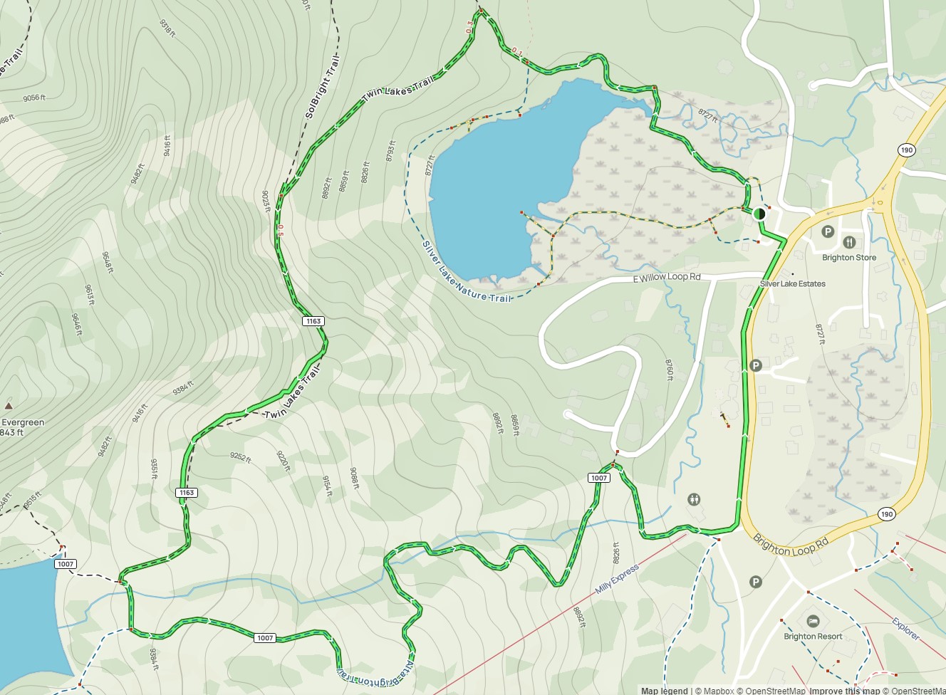
Distance: 2.3 miles
Location: Uinta National Forest
Trail Surface: Asphalt-boardwalk-natural surface
Difficulty: Moderate
Head out on this 2.3-mile loop trail near Mounthaven, Utah. Generally considered a moderately challenging route, it takes an average of 1 h 24 min to complete. This is a popular trail for hiking, running, and walking, but you can still enjoy some solitude during quieter times of day. The best times to visit this trail are April through October. You'll need to leave pups at home — dogs aren't allowed on this trail.
There is a wheelchair-friendly boardwalk here but the whole trail will likely not be navigable with mobility equipment.
Accessibility: There are 3 designated accessible spaces in the paved parking lot off of South Brighton Loop Road at the east end of the trail. All of them are van-accessible with striped access aisles. The trail surface is paved asphalt, a wooden boardwalk with edge barriers, or a natural surface (dirt, rocks, roots). It is typically at least 3 feet wide.
The most accessible portion of the trail is the first about 0.3 miles in either direction. The majority of the trail is estimated to be in the mostly gentle (5% or less) grade category but there are steeper sections at about 0.3-2.0 miles when going counterclockwise. Trail goers using wheelchairs/mobility equipment or strollers may need assistance in the steeper sections or to avoid them for safety. All-terrain tires or motorized equipment may be needed for the surface type and grade past about 0.3 miles when going either direction. The most accessible portion of the trail is the Silver Lake Loop Trail.
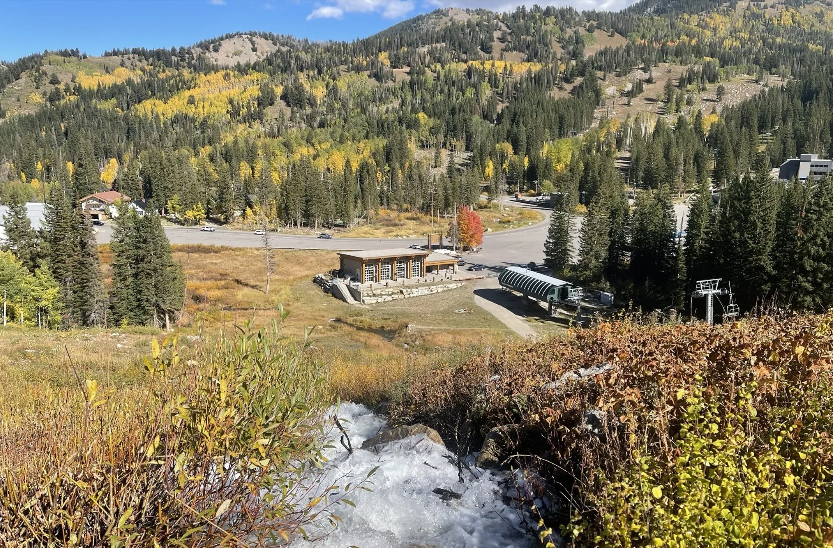
Snowbird Observation Point Trail
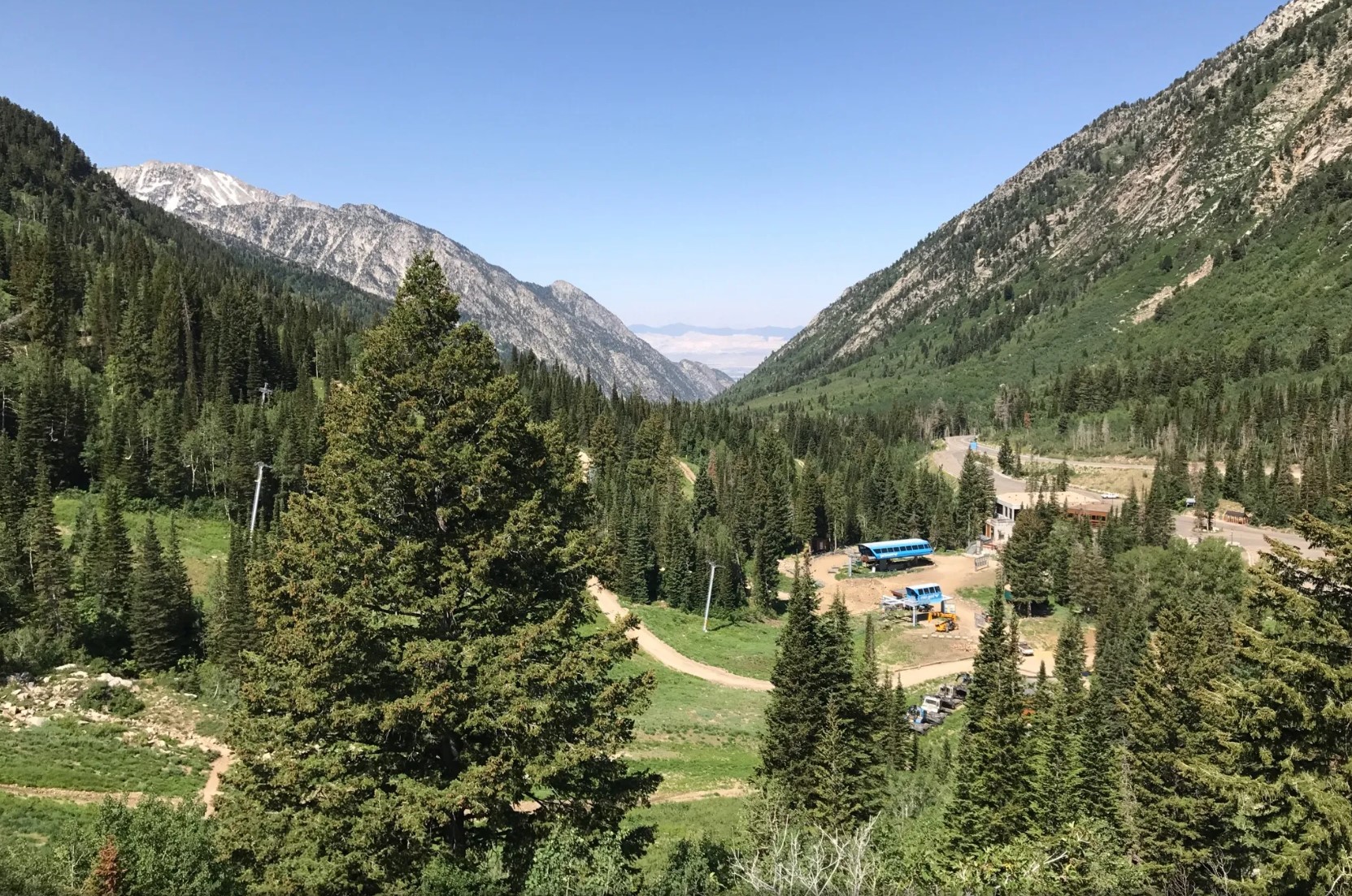

Distance: 1 mile
Location: Uinta National Forest
Trail Surface: Asphalt-Boardwalk
Difficulty: Easy
Experience this 1.0-mile out-and-back trail near Mounthaven, Utah. Generally considered an easy route, it takes an average of 22 min to complete. This is a popular trail for skiing, running, and walking, but you can still enjoy some solitude during quieter times of day. The best times to visit this trail are April through October. You'll need to leave pups at home — dogs aren't allowed on this trail.
Formerly called the Barrier Free Trail, this nice short paved path starts behind the Snowbird Center and goes to a wooden overlook with great views of the valley below. It has interpretive signage along the way with facts about the area.
Accessibility: There are 4 designated accessible spaces in the paved parking lot off of Snowbird Center Drive at the northeast end of the trail. All of them are van-accessible with striped access aisles. This parking area has been marked with a waypoint. The trail surface is paved with asphalt and has a wooden boardwalk at the observation point with railings, smooth, and typically at least 4 feet wide. The estimated grade is mostly gentle (5% or less), except for steep (8-12%) sections downhill at about 0.2 miles and 0.3 miles when going west. Trail goers using wheelchair/mobility equipment or strollers may need assistance in the steeper sections or to avoid them for safety. There are benches along the route for resting. Depending on the weather, there may be snow or slush in some portions near year-round.
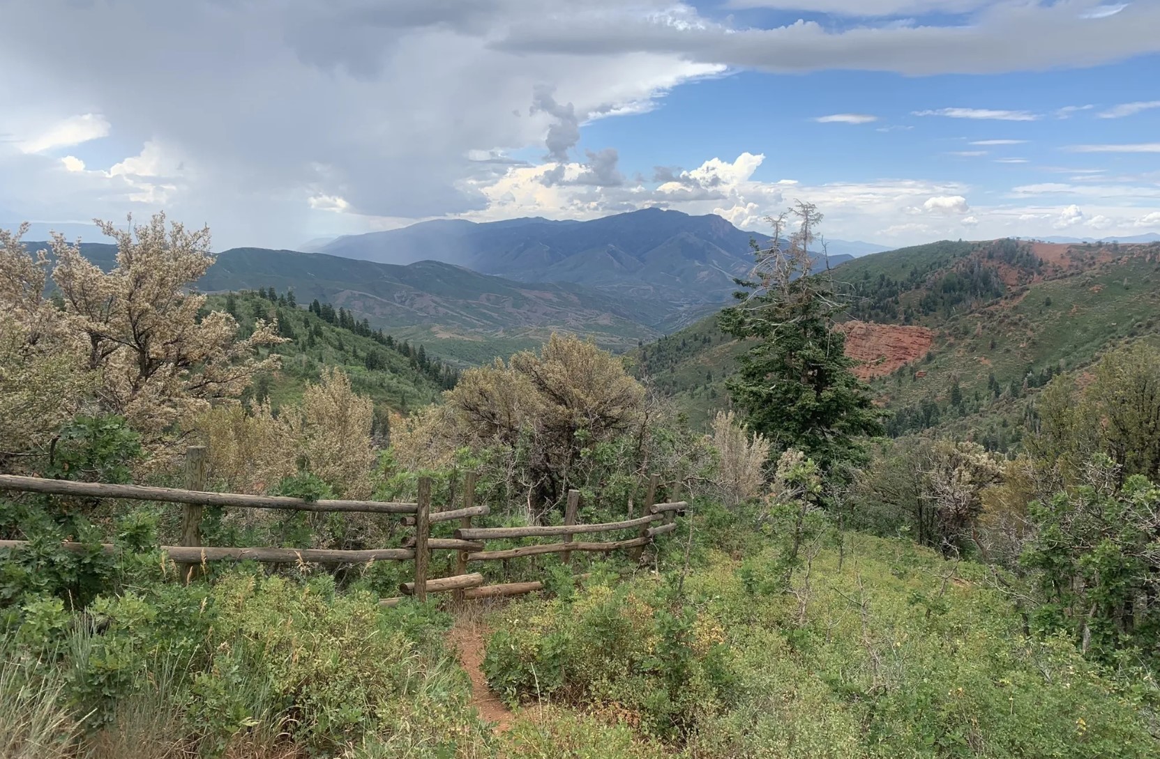
Devil's Kitchen Viewpoint
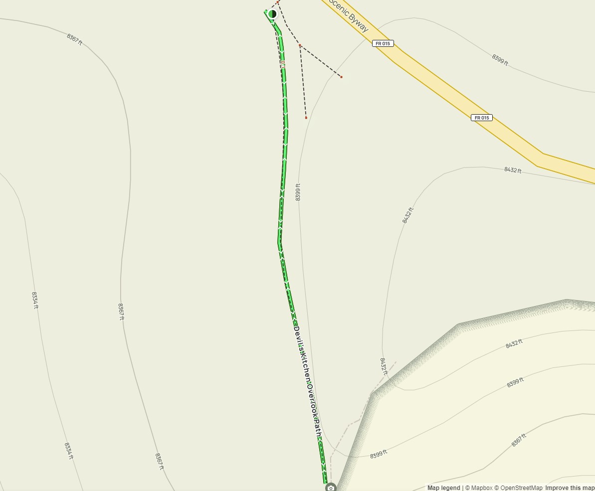
Distance: 0.2 miles
Location: Uinta National Forest
Trail Surface: Paved
Difficulty: Easy
Experience this 0.2-mile out-and-back trail near Mona, Utah. Generally considered an easy route, it takes an average of 4 min to complete. This is a very popular area for walking, so you'll likely encounter other people while exploring. The best times to visit this trail are May through October. Dogs are welcome, but must be on a leash.
This is a paved path with informative signage along the way to an incredible view.
Accessibility: This trail is likely accessible for visitors using wheelchairs, mobility equipment, or strollers.
Accessible Parking:
Number of designated accessible spaces: 1 at the trailhead;
Number of van-accessible spaces with access aisles: 1;
Parking lot surface: paved.